Campbell River in short
Route: Flows west through Langley and Surrey into Semiahmoo Bay
Old label: Tahtaloo, on an International Boundary Survey sheet
1917: Campbell Creek adopted
1952: Changed to Campbell River
Tahtaloo
The river that runs through Campbell Valley was labelled Tahtaloo on an International Boundary Survey sheet, according to BC Geographical Names. A provincial name card lists other spellings too, including Tah-la-loo and Tah tu lo.
Creek, then river
In 1917, the Geographic Board of Canada adopted "Campbell Creek (not Tahtaloo)", following a 1914 BC map. The form changed to Campbell River on July 3, 1952, matching British Admiralty Chart 2627 from 1864.
It flows west through Langley and Surrey into Semiahmoo Bay. Metro Vancouver's park page calls it the Little Campbell River.
Also on Langley Insiders: Langley City Is an Official Bat-Friendly Community. Leave Them Alone Until February
See it in the park
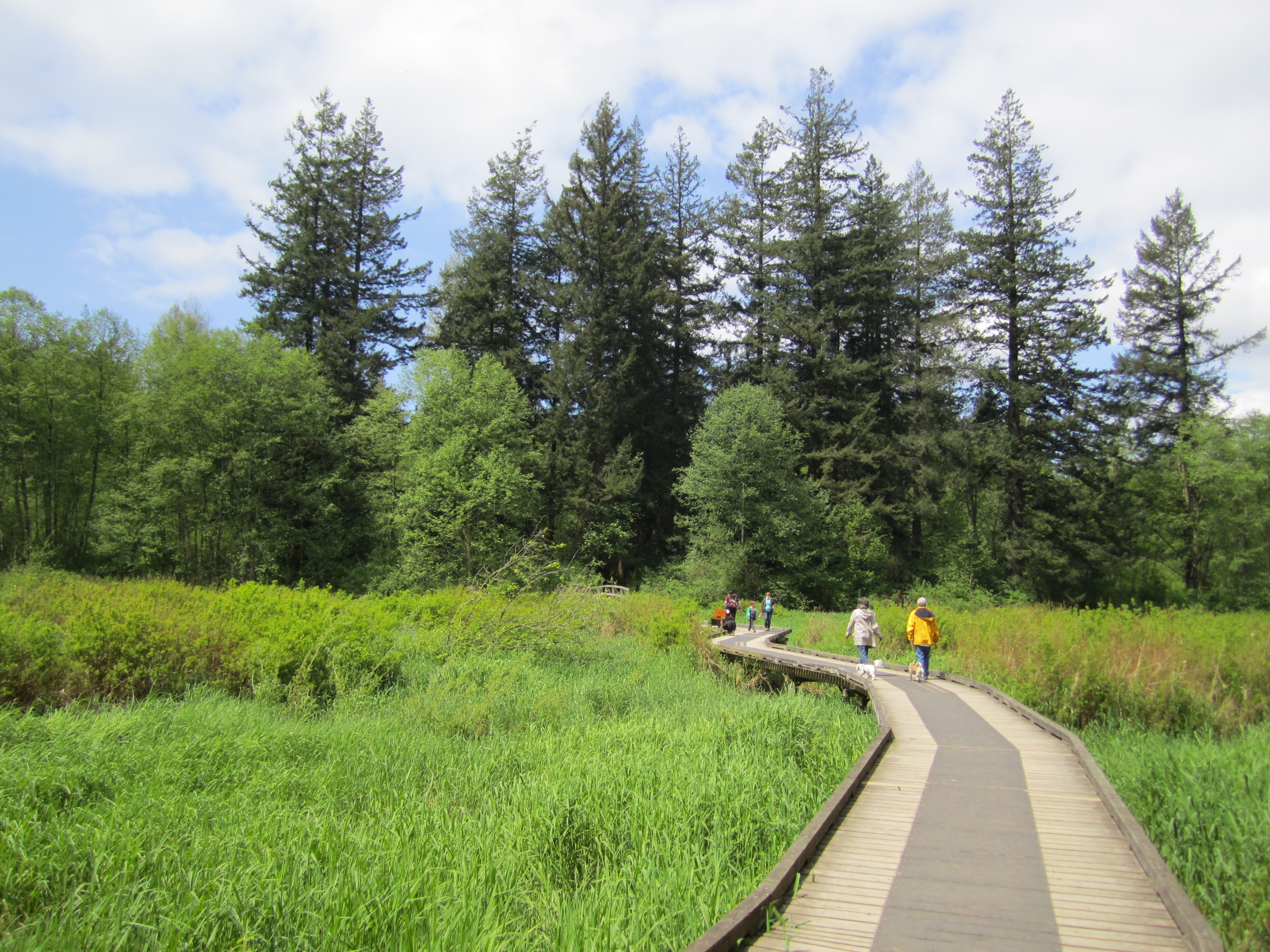
The Little River Loop at Campbell Valley Regional Park crosses the river, and the Listening Bridge has a self-guided nature stop. Part of the park east of McLean Pond is closed for construction, so read our closure note first.
Sources: BC Geographical Names (entry 38520), Metro Vancouver, read Oct 29, 2026.
Have a news tip? Email contact@langleyinsiders.com.


Leave a Reply